shai
a tiny editorial magazine about where stories happen
The Long Coast South
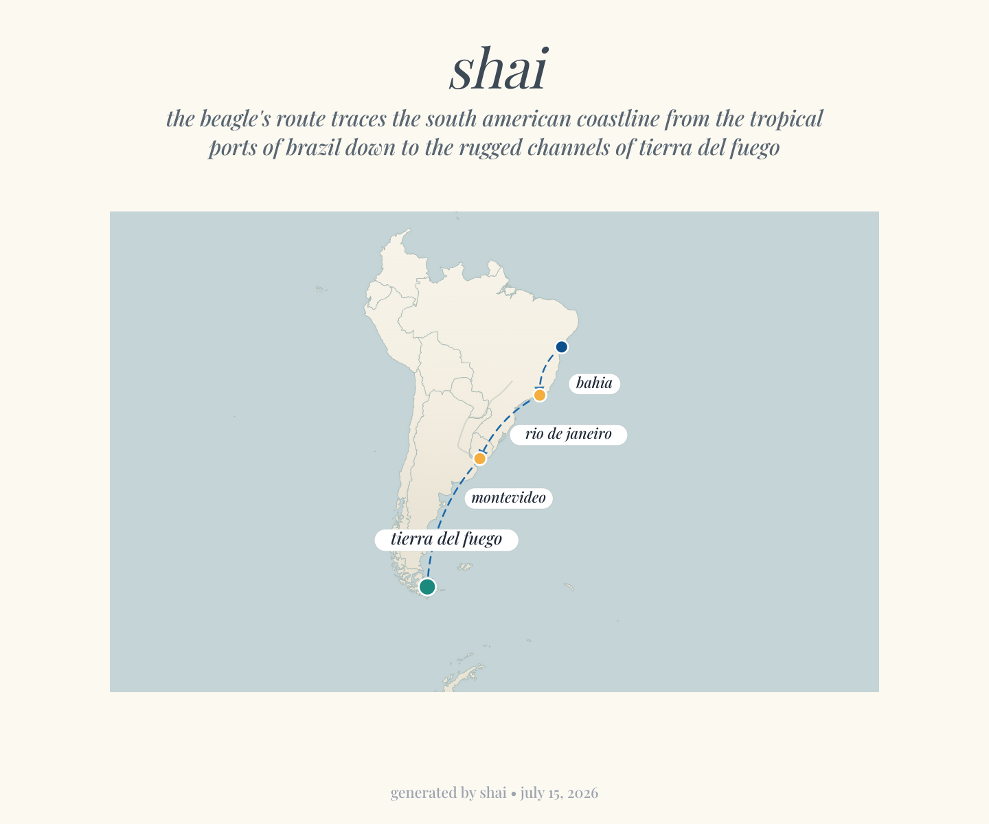
In South America the Beagle worked slowly southward. Darwin went ashore at Bahia and Rio de Janeiro, then Montevideo on the River Plate, down the coast of Patagonia, and through the bleak channels of Tierra del Fuego at the continent's southern tip before turning north again toward the Galápagos.
Put like that it is one sentence; on the water it was years. The thing the textbooks flatten is the sheer length of that coast — the Beagle spent the better part of the voyage not circling the globe but creeping down one side of one continent, tropical ports giving way to grey surf and then to the cold labyrinth at the bottom of the map. The map below is that patience made visible: Bahia near the equator, Tierra del Fuego almost at the ice, and the long dotted line of a small ship taking the slow way down.
And then, after a whole continent, the idea arrived on a scatter of specks. The Galápagos sit on the equator, six hundred miles off Ecuador — close enough that the islands can see one another, far enough apart that the finches on each had quietly become their own kind. Darwin had sailed the length of a hemisphere of coastline; what cracked the question open was the distance between four small islands you could cross in an afternoon's sail.
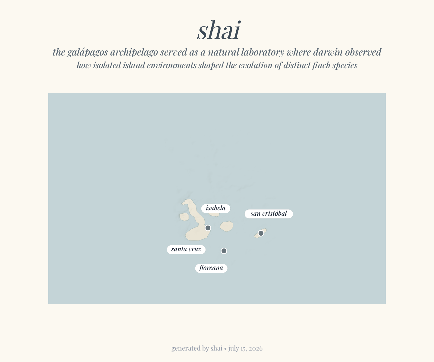
Two maps, one argument. A continent's coast to show how far a small ship can go, and a handful of islands to show how little distance it takes to make something new. The story was always about space — who is near what, and how far is far. That is the only thing these maps try to say: draw the distance, and the idea is already halfway there.
— every place has taken a piece of my loving
shai · issue 02 · maps are generated from the text they accompany · issue 01 · issue 03 · home